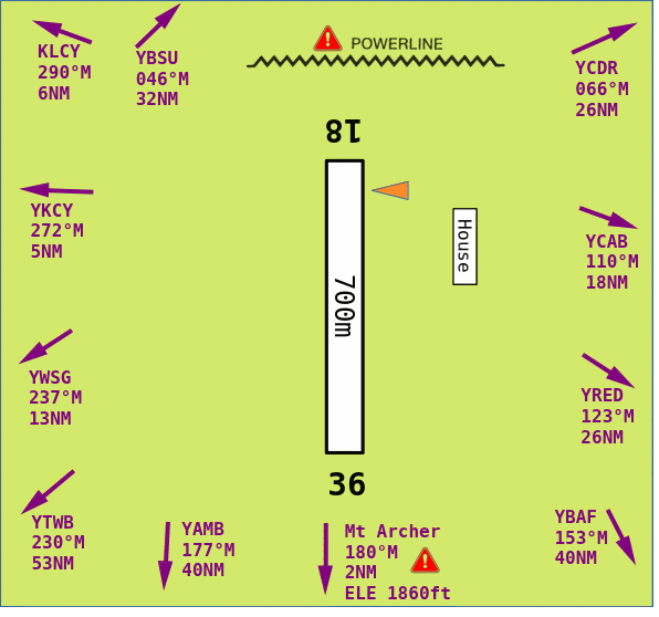
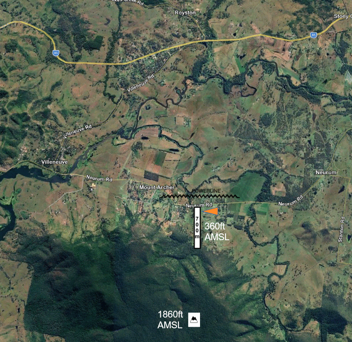
Archerfalls Airfield, Queensland
26°58.453S 152°40.004E
-26.974224° 152.666730°
ELE 360 VAR 11.0°E
Procedures
 RWY
18/36, 700 metre grass, Elevation 360ft AMSL
RWY
18/36, 700 metre grass, Elevation 360ft AMSL
 All
arrivals RWY 18, All departures RWY 36
All
arrivals RWY 18, All departures RWY 36
 Departures
commence ground roll at southern extremity RWY 36
Departures
commence ground roll at southern extremity RWY 36
 Missed
approach RWY 18: make left turn immediately, climb to circuit ALT
Missed
approach RWY 18: make left turn immediately, climb to circuit ALT
 CTN:
Terrain 1660ft AMSL south 1.0NM (1300ft ABV RWY)
CTN:
Terrain 1660ft AMSL south 1.0NM (1300ft ABV RWY)
CTN:
Terrain 1860ft AMSL south 1.8NM (1500ft ABV RWY)
CTN:
Kangaroo and Bird hazard
CTN:
Powerlines short final RWY 18
CTN:
Model aircraft OPS
 Avoid
flying directly over houses to North, East, West
Avoid
flying directly over houses to North, East, West
 CTAF
126.7, FIA BRISBANE CENTRE 129.0
CTAF
126.7, FIA BRISBANE CENTRE 129.0
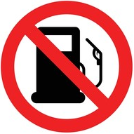 Fuel
NOT AVBL,
Fuel
NOT AVBL,
 YCAB
or YWSG
YCAB
or YWSG
 CTC:
Ron Field 0408195497, 1253 Neurum Rd, Mt Archer Q 4514
CTC:
Ron Field 0408195497, 1253 Neurum Rd, Mt Archer Q 4514